


Little Brush Creek Cave is Utah's longest known cave at just under 6 miles and a depth of 658 feet. The cave is often clogged with huge logs and other debris from spring run off running through the middle of it.
Gas Can Pit
Gas Can Pit got its name from the gas cans that the forest service threw into it several years ago. Those cans have since been removed. When we setting up to descend the cave, the first ledge collapsed and all the boulders and logs at the top fell into the pit. If you go, please be careful as this is not the most stable of pits in the area.


Boat Box
Boat Box is a another Soapstone cave that was discovered and sketched in 1975 by Kevin Allred. The location of this cave was just recently re-discovered and we had the opportunity to go and explore it this past weekend. While we were there we discovered that the cave matched the sketch made of it, but the scale of the sketch was a bit off.
 The entry was covered with rotted logs when we visited the cave.


Shane and Dave looking down into the entrance of the second pit.


This is looking down from near the top of the second pit. You can see the simmer on the water below.

Its hard to see, but the water level is where the little shimmer of light is by the rope.
Money Pit
Money Pit gets it's name from the legends of lost Spanish gold in the area; although there is no mineralization or any history of Spanish mining in this cave, there have been recent workings of people trying to excavate here and there.


The entrance drops 10-12 feet into a small room.

Shane Coles climbing down into the entry. For inexperienced climbers we recommend using a rope to descend this pit.

From the small room at the bottom of the entry pit there is a small hole that corkscrews down into the fissure before it opens up.
 This is looking down the fissure just after the corkscrew passage.


Descending into the main portion of the cave there is an old rope ladder with wood rungs. The walls are very wet and the rope and wood have become very water logged, so I don't know how much longer this set up will be stable enough to use.
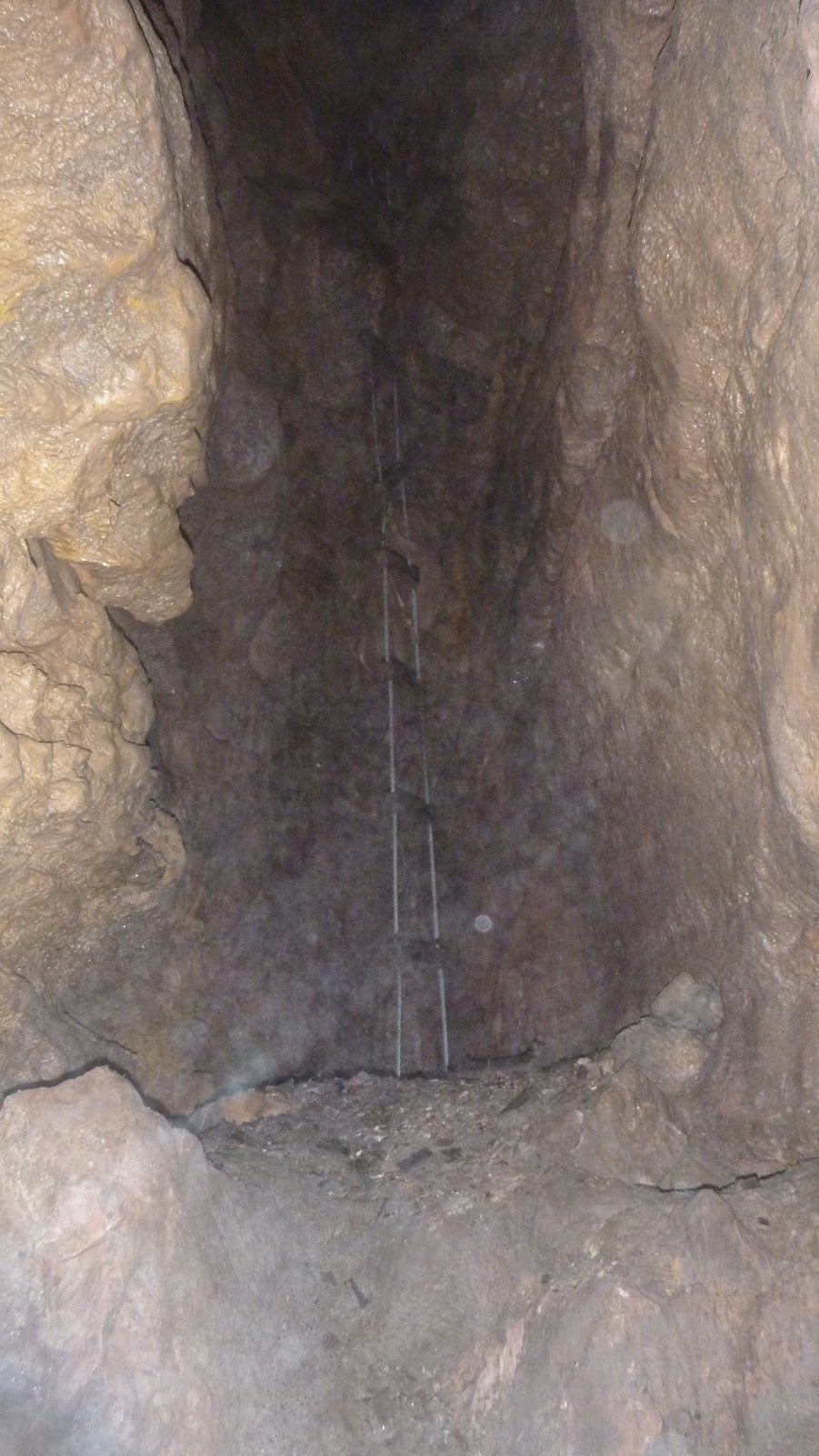

From the floor of the pit the cave cuts back under where the ladder is and there is another pit. Since I didn't bring my gear down this one I was not able to explore it any further. Down-climbing this one is probably possible, but since no one else was in there with me I decided not to attempt it. We will have to try it again on another trip.
Hatari Cave
Hatari is the largest of the caves in the Soapstone Basin area. It has well over 500 feet of passage, with potential for more. The entry pit is roughly 25 feet and then there is a second drop into the main passage which is 50 - 60 feet. The rest of the cave is a large "slot canyon" that intercepts a second canyon. The second channel wraps back around and connects to the original one to make a big loop. Both canyons end in a gravel sump that takes the water down deeper into the limestone.


Looking down the 60' drop.

Looking up the 60' drop.

This is the beginning of the canyon at the bottom of the drop.

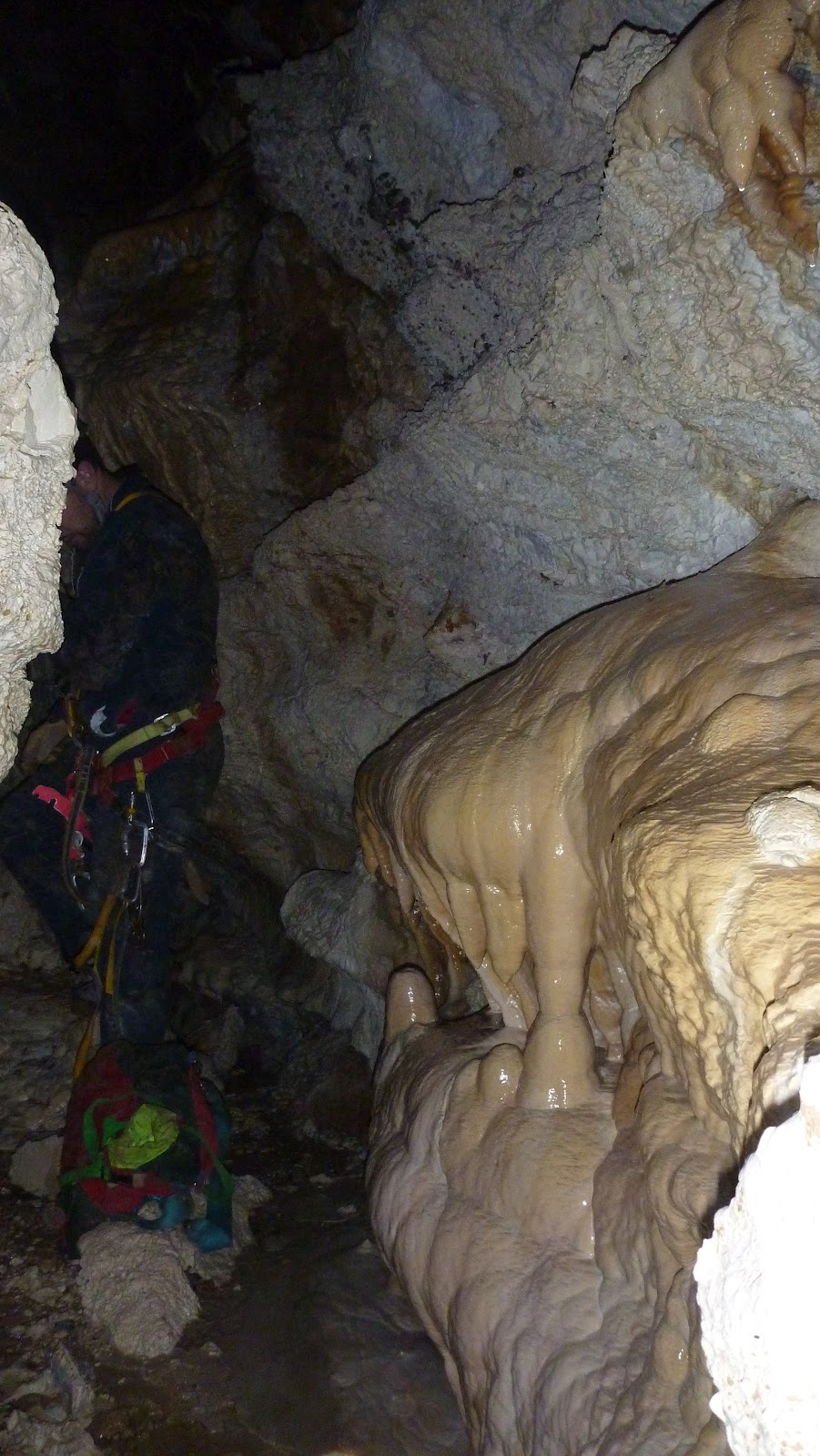
This cave has a lot of small pockets that bring water and other minerals into the cave and make these beautiful formations.

This rock type of rock is called Breccia and is fond in many parts of the cave.

This poor animal somehow made it to the bottom of the pit alive and wandered to this point where he laid down and has been ever since. It looks like a small coyote.

The bacon in this cave is very white in most places.


This is called a Soda Straw

More soda straws and serrated bacon.

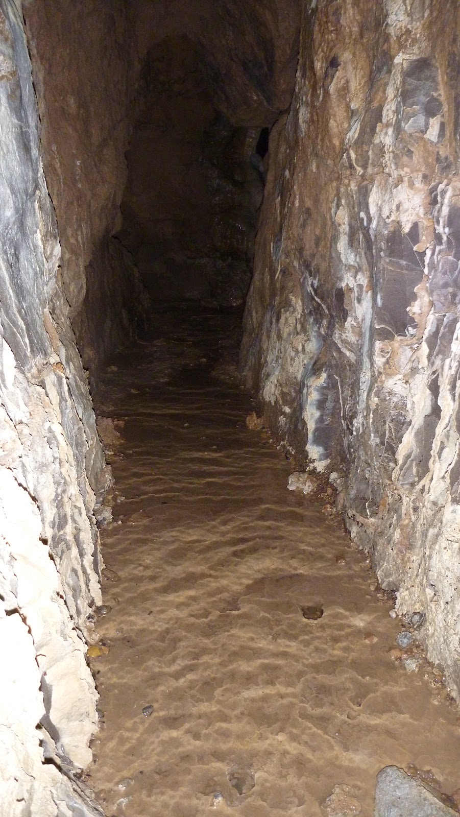
Some parts of the channel are tighter than others, but this is about the worst of it.

Here are a couple of little rim rock pools.
This is the only column we found in the cave.


Shane Coles and David Herron working their way through the loop canyon.

This looks like it is flowing muddy water; but it is actually a solid formation. We stepped on the rocks and edges to avoid any damage.

Looking up and out.
Muddy Bones Fissure
This cave is simply an open fissure. It drops 125' to the first floor and then reaches 146' deep through a side passage. There was really only one small part of this cave that had any formations and they were minimal at best. Most of the walls are covered with mud that flows in during rain storms and spring thaw. We took the time to survey the cave while we were there, so a map will be coming shortly.


Looking down into the entry.


Looking back up at the entry from about 40' down.

Someone attempted to do some mining in here a long time ago. In a well hidden side passage we found these old spikes. They are very rusted and brittle. There were also several cut boards that were almost completely corroded. They broke very easily when stepped on.

This is looking down the fissure where some mining was done.

Judd ascending past the log pile at 125' down.


The floor was covered in small rodent bones, as were many of the mud coated walls.

The very bottom of the cave is just a few feet below the bottom of the picture. The deepest point was 146', at which point the fissure is filled with mud.
Subscribe to:
Posts (Atom)


